My first impressions of this section wasn't good,Erith really is an industrial town with little appeal save for The Thames. I left the station to start the walk after travelling for over an hour on National Rail,Tube and Docklands Light Railway.
The name Erith dates from Saxon times and means muddy harbour or gravelly landing place.


I walked along the Thames looking across to Rainham and could see where I started the Loop over in Purfleet. I reached the Cross keys pub and was looking about for a sign to see where to go next.Thankfully someone pointed me the direction as Erith doesn't appear to be very well sign posted. I walk down the steps to rejoin The Thames.


 |
| Deep Water Wharf |
I now leave the Thames and up through some bollards to join Manor Road by the now closed and boarded up Royal Alfred pub. Manor Road is full of industrial units and HGV.s trundling past.
 |
| Manor Road |

I turn left onto a path by a local Yacht club and back along the Thames once more.


The base reads as follows:
"Down a wandering path I have traveled,
Where the setting sunLies upon the ground.
The tracks are hard and dry
Smothered with
The weather's wear,
My mind did move
With them that had
Before me seen,
Trodding down the ground
A track for me to follow,
Leaving marks for others
A sign for them to follow"
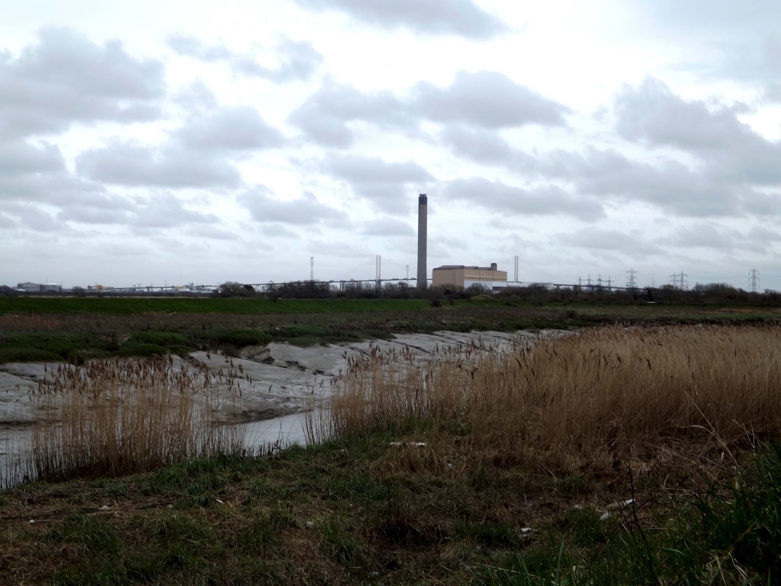
Shortly after id Crayford Ness , where we now turn right to follow the River Darent,below pictured is the Creek flood barrier.


Now the river divides and we branch off to our right to follow the River Cray with more industry ahead.I leave the river by a stile and turn into a road with lorries again trundling along. I reach the Jolly Farmer Pub where I cross the busy A206onto another track to follow the River Cray once more.


The path brings me up to Hall Place and its gardens. I followed the path and had a look around thre gardens and the outside of the house.It was £7 to enter the house itself and if I had the time,I would have gladly paid it to have a look.Maybe another time.


 | |
| Here you can clearly see where the old meets new! |


I follow the path and hedge once more,up some steps and join the A2 for a short way before dropping down to a path below. Here I went wrong and ended up walking through an industrial estate and crossed the A2 by Dartford Heath. After probably adding a mile to my walk I ended back on track and entered Churchfield Wood and down a path so steep I had to grab trees to slow me down as I sped down the slope.At the bottom was the Loop path I should have been on. I exit the wood and onto a path that ran alongside a graveyard.I decided to walk through this instead.


The parish church of St Mary the Virgin has been a continuous place of Christian worship for over eight hundred years. The church probably succeeded an earlier Saxon church on the same site. This was mentioned in the Domesday Survey (or census) in 1086 as a 'church in Bixle' where it is said that St Paulinus came to preach.


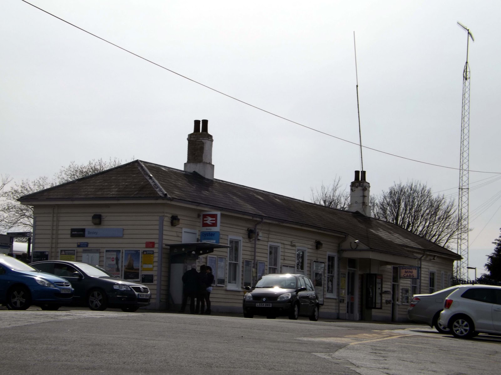
I wander up the road to Bexley station for the journey home.